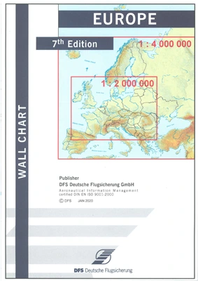
DFS Europe Wall Chart
| Order number: | 29991 |
| Brand: |
Deutsche Flugsicherung (DFS)
|
| Plastification: |
Paper
|
| Medium: |
Paper
|
| Edition: |
2020
|
| Scale: |
1:2.000.000
1:4.000.000 |
Prices include VAT plus shipping costs
1 - 4 workdays
Depending on shipping and payment method- Quick shipping service
- Parcel tracking
- Personal advice
Sehr gute Karte um eine Gesamtübersicht der Flugplätze im europäischen Raum zu gewinnen.

1 - 4 workdays
Depending on shipping and payment method
1 - 4 workdays
Depending on shipping and payment method
1 - 4 workdays
Depending on shipping and payment method
1 - 4 workdays
Depending on shipping and payment method
The product is being ordered for you. The expected delivery time is 2 week(s)

1 - 4 workdays
Depending on shipping and payment method
1 - 4 workdays
Depending on shipping and payment method
1 - 4 workdays
Depending on shipping and payment method
1 - 4 workdays
Depending on shipping and payment method
1 - 4 workdays
Depending on shipping and payment method
Delivery time on request - Contact us

1 - 4 workdays
Depending on shipping and payment method
1 - 4 workdays
Depending on shipping and payment method


